Wetland ecological integrity in Tāmaki Makaurau 2010-2024. State of the environment reporting
Author:
Georgianne J K Griffiths, Grant LawrenceSource:
Auckland Council Environmental Evaluation and Monitoring Unit, EEMU | Engineering, Assets and Technical Advisory DepartmentPublication date:
2025Topics:
EnvironmentWetland ecological integrity in Tāmaki Makaurau 2010-2024. State of the environment reporting.
Executive summary
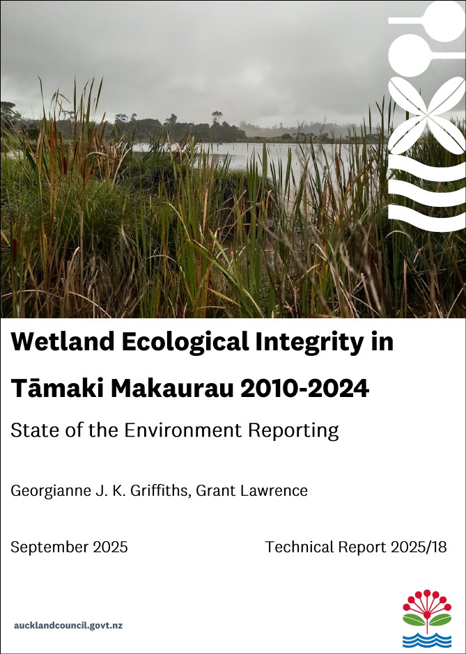
Wetlands are permanently or intermittently wet areas that support natural ecosystems adapted to wet conditions, providing critical ecosystem services including flood attenuation, water purification, and biogeochemical cycling. An estimated 96% of original wetland extent in Tāmaki Makaurau has been lost through drainage and vegetation clearance for farming, settlement and urban development. As a result, all eight wetland ecosystems occurring in Tāmaki Makaurau are classified as threatened or at-risk according to International Union for Conservation of Nature (IUCN) criteria. The consequences of wetland loss have been severe for biodiversity, with wetland plants over-represented in New Zealand Threat Conservation Status lists.
Auckland Council's Terrestrial Biodiversity Monitoring Programme (TBMP) has established a network of permanent vegetation plots in 189 wetlands across the region, monitored every five years since 2010. This report analyses fifteen years of data to examine plant biodiversity and ecological integrity of wetlands across Tāmaki Makaurau. The sample of wetlands monitored is broadly representative of freshwater wetlands in the region. Most are swamp or marsh wetlands, though eight wetland classes are represented. Wetlands in the sample are surrounded by indigenous forest, exotic forest, rural and urban landcover on both public and private land. Wetlands range in size from 490 to 0.1 hectares, but most are small swamps or marshes less than 0.5 hectares surrounded by rural landcover.
The data reveals two key pressures impacting plant biodiversity in wetlands. First is the substantial burden of exotic and invasive pest plants. Exotic species compose half of all plant species recorded, while pest plants constitute 21% of all plant cover, with several species increasing in biomass over time.
Second, nutrient enrichment, especially from elevated nitrogen, appears to be changing indigenous plant communities. The data shows raupō biomass was highest and increased most where nitrogen levels were elevated relative to carbon, and areas of high raupō biomass were associated with significantly lower plant species richness. This pattern reflects global trends where nutrient loading drives shifts from diverse plant communities to monospecific stands. Increasing raupō biomass is a threat to biodiversity, but this species also has high cultural value to tangata whenua and its rapid growth will remove nutrients from the water during the growing season, protecting downstream water quality. Without harvesting however, a large proportion of these nutrients will be returned to wetlands during decomposition.
Analysis demonstrates the highly responsive nature of wetland vegetation, dominated by herbaceous perennial and annual plants. Plant communities showed substantial turnover in composition over the 15-year period, with communities generally diverging from their earlier states in a directional pattern consistent with ongoing anthropogenic pressures rather than natural variability.
The wetland condition, pressure and edge indices support the plant data in highlighting widespread threats. The Wetland Condition Index suggests 90% of wetlands are in excellent or good condition, but this assessment masks widespread problems since introduced plants are ubiquitous and only nine sites showed minimal predator impacts. The Wetland Pressure Index reveals 88% of wetlands face moderate to high anthropogenic pressure from pest animals, weeds and catchment-level processes including water quality decline. The Wetland Edge Index shows 40% of wetlands have good edge condition, with poor conditions characterised by inadequate buffers, stock access, drainage, and exotic plant dominance. Many wetlands that had better condition and lower pressure were on public land, and especially in Regional Parks, highlighting the importance of active management. The indices prove valuable in identifying what management should be targeted to improve wetland condition. More work is required nationally to set meaningful thresholds for wetland condition, pressure and edge indices to accurately reflect ecological integrity.
Analysis of threatened species reveals concerning trends. Of 50 nationally or regionally Threatened, At Risk or Data Deficient species recorded over 15 years, only eight showed small increases in biomass, while the remainder either declined or were detected in only one rotation, indicating high vulnerability to local extinction. Fifty-six per cent of these vulnerable species require wetland habitat to persist.
The data shows no systematic regional shifts in wetland hydrology described using a modified version of the Prevalence Index currently used in wetland delineation. Specific wetlands did show significant drying and wetting from various causes including forest regeneration, urbanisation, and plantation forestry effects. The modified Prevalence Index shows promise as a tool for monitoring wetland hydrology without resource-intensive hydrological monitoring, while raupō shows potential as an indicator of nutrient enrichment.
This technical report demonstrates the value of long-term monitoring by enabling detection of changing patterns across wetlands in Tāmaki Makaurau. The monitoring data will only increase in value and sensitivity over time.
Auckland Council technical report, TR2025/18
September 2025
See also